We are located on the A470 just south of Llangurig. We are 5 miles from Llanidloes and 9 miles from Rhayader.
Grid reference: SN 91389 78430
Latitude: 52.393077
Longitude: -3.597532
OS Explorer Map 214 Ref 914785
If you use the what3words app, try ///setting.gazes.tour
Driving directions
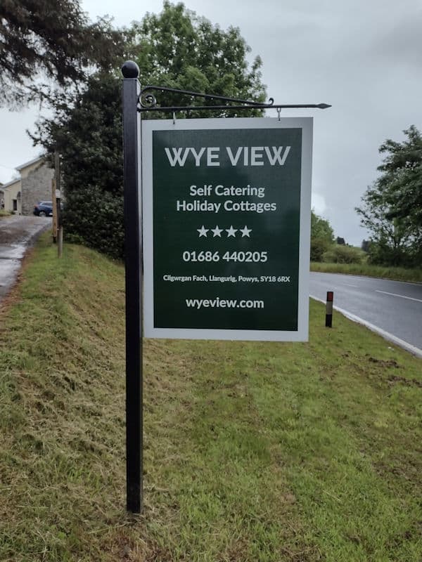
You can use the postcode SY18 6RX as a GPS location but bear in mind that this covers several properties spread along two miles of the A470. If you find yourself directed to a layby you are two miles south of us; head north (with the river valley on your left) and follow the instructions “From the south” below.
From the north and east: from the roundabout at Llangurig take the A470 towards Rhayader. The property is located 3/4 mile from the roundabout and is the second property on the left. Look out for our sign on the left of the road.
From the south: Take the A470 from Rhayader and we are nine miles north on the right hand side. Look out for our sign to the right of the road. If you miss it, continue north to the roundabout and double-back following the directions above.
We have a distinctive sign at the bottom of our drive. At night look out for three reflective bollards on each side of the driveway.
Public Transport
Nearest bus stops are in Llangurig, one mile north-west of Wye View on the A470, A44:
525 Aberystwyth
525 Llanidloes
X47 to Rhayader, Llandrindod Wells
X47 to Aberystwyth
X75 to Rhayader
X75 to Llanidloes, Caersws, Welshpool, Shrewsbury
Nearest railway stations are:
Caersws on the Cambrian Line between Shrewsbury and Aberystwyth
Llandrindod on the Heart of Wales line between Swansea and Shrewsbury